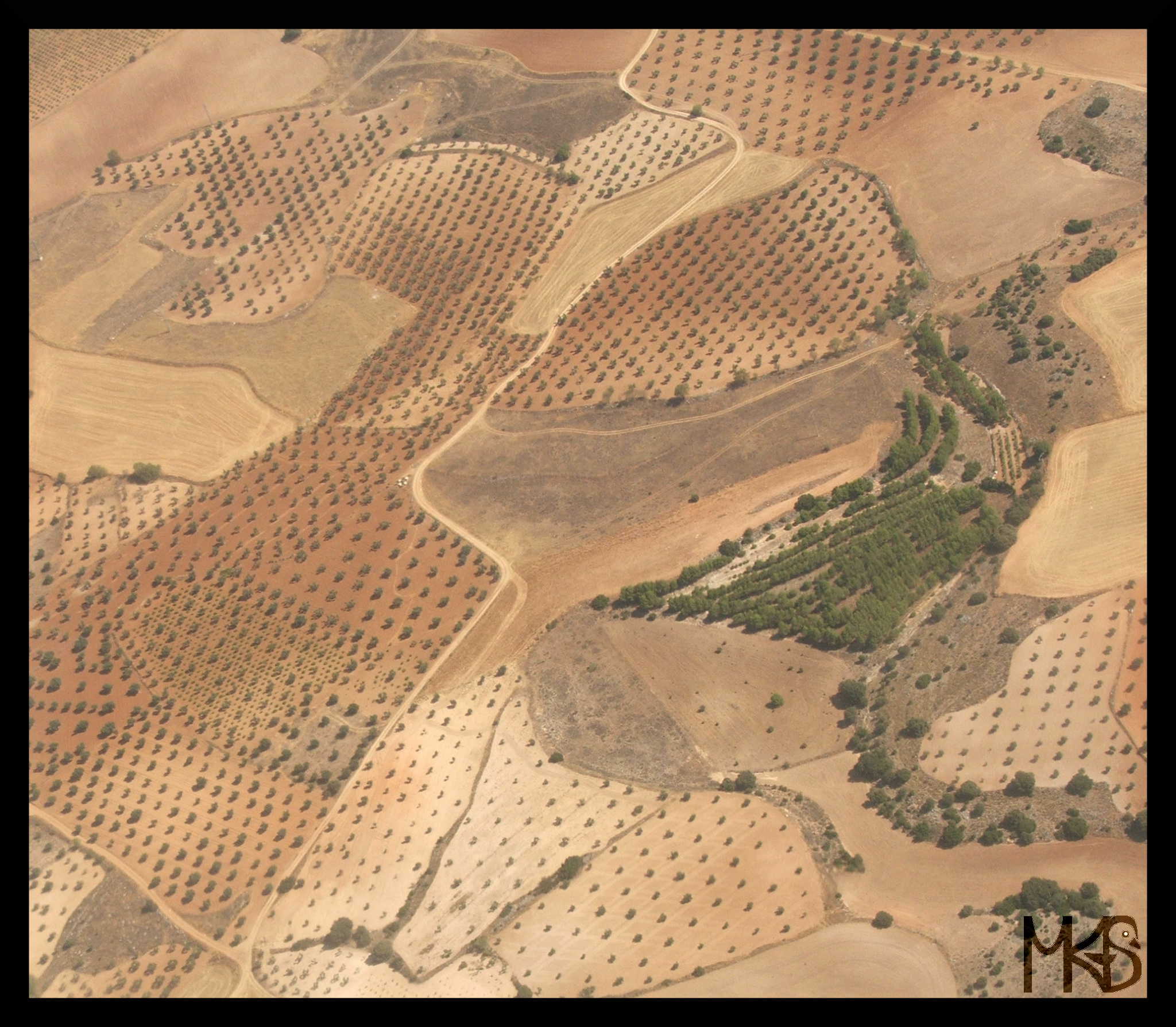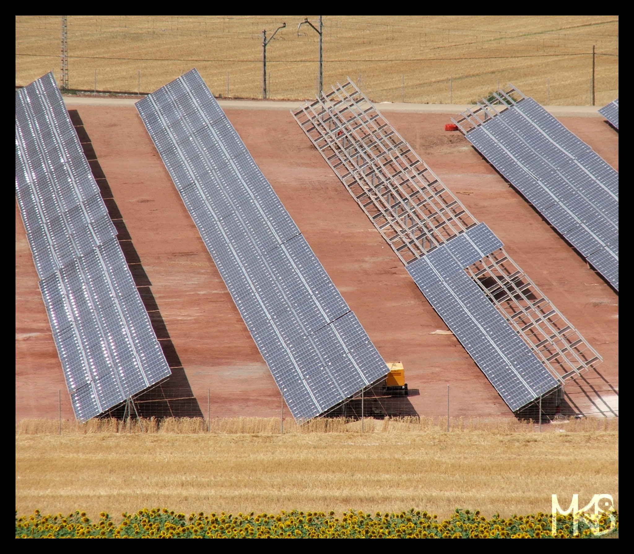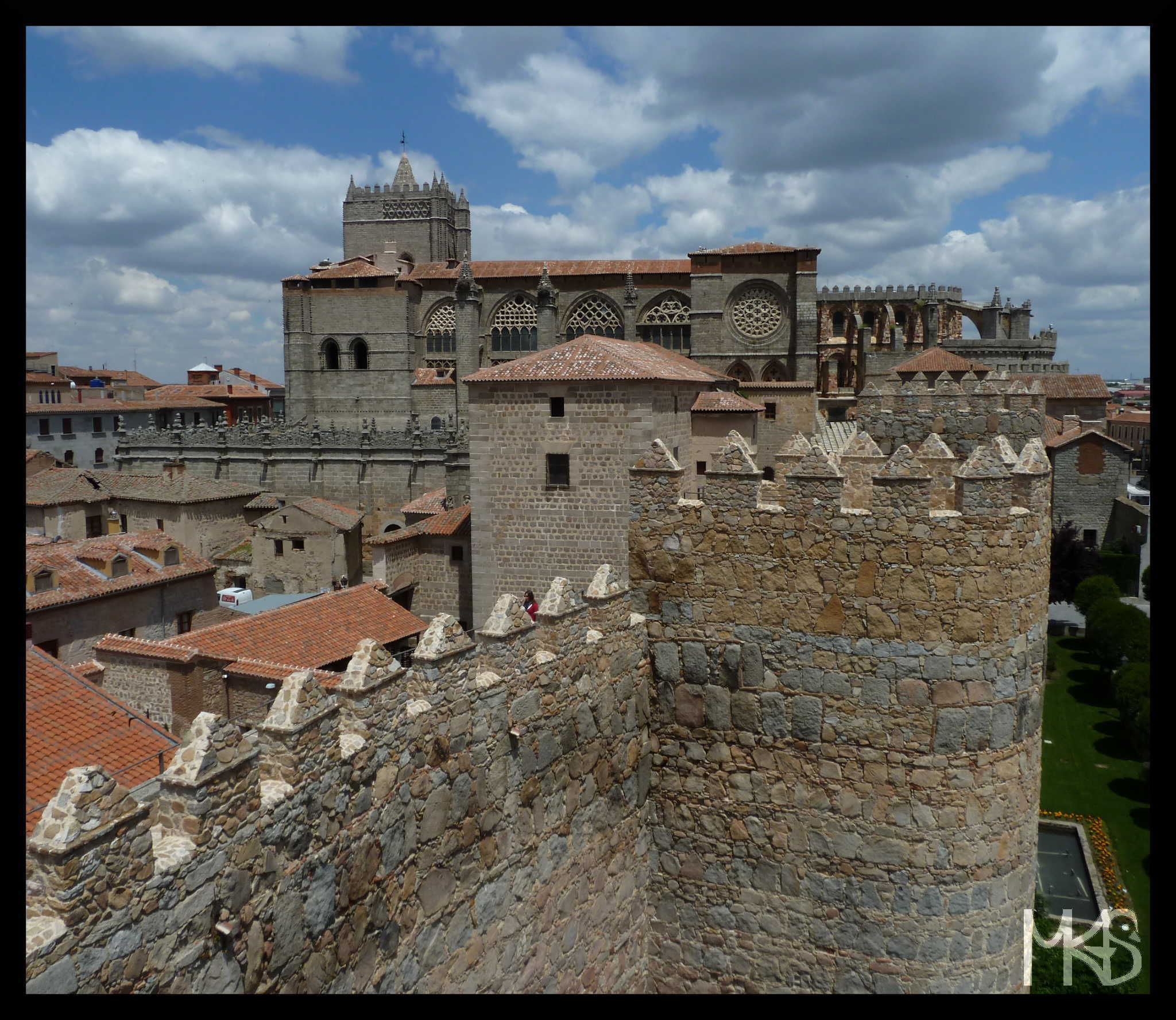
Åland consists of about 6,700 islands, but only eighty of them are inhabited.
__________________________________________________________
Na Wyspy Alandzkie składa się około 6700 wysepek, jednak tylko 80 z nich jest zamieszkanych.
Åland consists of about 6,700 islands, but only eighty of them are inhabited.
__________________________________________________________
Na Wyspy Alandzkie składa się około 6700 wysepek, jednak tylko 80 z nich jest zamieszkanych.
The Aland Islands is an autonomous region situated in the Baltic Sea.
The total area and population of Aland Islands is not so big, thus my posts this month are going to be quite short – a small piece of information everyday. 🙂
Well, February is also a short month, so let’s keep everything short. 😉
__________________________________________________________
Wyspy Alandzkie to prowincja autonomiczna znajdująca się na Morzu Bałtyckim.
Wyspy Alandzkie zajmują małą powierzchnię, liczba ich mieszkańców także jest niewielka, stąd moje posty na temat wysp też będą dość krótkie – codziennie króciutka informacja o wyspach. 😉
Poza tym, luty jest krótkim miesiącem – tym bardziej posty będą pasować. 😉
Welcome in February! 🙂
This month, I’ll show you my pictures from the Åland Islands.
Have you ever heard about this place? If so, hopefully you’ll enjoy this month on my blog.
But, if you have no idea what Åland Islands are – please don’t check them now, wait till the end of February. 😉 I want to show you them through my pictures. 🙂
Today, I just want to promise you “lazy” and sunny posts in February.
Please, stay tuned! 🙂
__________________________________________________________
Witajcie w lutym! 🙂
W tym miesiącu pokażę Wam zdjęcia z Wysp Alandzkich.
Znacie to miejsce? Jeżeli tak, to mam nadzieję, że spodobają Wam się moje posty.
A jeżeli nie macie pojęcia czym są Wyspy Alandzkie – to proszę nie sprawdzajcie tego, a przynajmniej poczekajcie do końca miesiąca. 😉
Dzisiaj mogę obiecać dużo “leniwych” i słonecznych zdjęć w lutym. 🙂
And today, we have already the last post from January.
How did you like my Chilean impressions?
p.s. Tomorrow, a new monthly series starts, this time it’s going to be about a bit unusual place. 🙂
See you in February!
__________________________________________________________
Dzisiaj już ostatnie styczniowe zdjęcie na moim blogu.
Jak Wam się podobały moje chilijskie wrażenia?
p.s. Jutro rozpocznie się kolejny miesiąc na moim blogu, tym razem poświęcony trochę nietypowemu miejscu. 🙂
Do zobaczenia w lutym!
Today, I wanted to show you a special bread…
While hiking in Patagonia I saw many times these strange, orange plants growing on trees. Do you know what’s that? It’s a fungi, apparently non-toxic and edible (yes, I tried it) called Darwin’s Fungus or Indian Bread.
__________________________________________________________
Dzisiaj, chciałam Wam pokazać dość specyficzny chleb…
Podczas wędrówek po Patagonii, wielokrotnie widziałam dziwną, pomarańczową roślinę rosnącą na drzewach. Wiecie co to takiego? To rodzaj grzyba, (podobno jadalny, cóż próbowałam…), nazywany bywa indiańskim chlebem, lub grzybem Darwina.
Tierra del Fuego is an archipelago that belongs partly to Argentina and Chile.
For a short time it was famous because of a gold rush and you can still find some remains from that period.
Tierra del Fuego is located in Patagonia, so there is beautiful nature with cute animals, as you see in today’s picture. 🙂
__________________________________________________________
Tierra del Fuego, czyli Ziemia Ognista, to archipelag należący częściowo do Argentyny i Chile.
Przez krótki okres, było to znane miejsce wśród poszukiwaczy złota i obecnie można znaleźć pewne pozostałości tej “ery”.
Ziemia Ognista znajduje się Patagonii, więc spodziewajcie się zobaczyć tutaj wyjątkową przyrodę i urocze zwierzaki (jak na dzisiejszym zdjęciu). 🙂
We’re in Patagonia, so I have to show you glaciers. 🙂
It may sounds a bit boring, when each time, I’m extra excited about Patagonia; but there are plenty of scenic landscapes with cute animals, so it’s so easy to fall in love with Patagonia. 🙂
__________________________________________________________
Skoro jesteśmy jeszcze w Patagonii, to muszę pokazać przynajmniej jedno zdjęcie z lodowcem. 🙂
Moje posty o Patagonii mogą się wydawać trochę nudne, gdyż za każdym razem zachwycam się jej pięknem. Musicie mi wybaczyć, ale Patagonia skradła moje serce. 🙂
Torres del Paine is a national park in Chilean Patagonia with famous three rock towers that give the park its name. The park covers a wonderful area with mountains, lakes and glaciers. You’ll find there different hiking paths, and it’s a very good idea to spend there a while. 🙂
__________________________________________________________
Torres del Paine to park narodowy w chilijskiej Patagonii. Jego nazwa pochodzi od słynnych trzech wież skalnych (widocznych w tle dzisiejszego zdjęcia). Do parku warto się wybrać by nacieszyć się patagońską przyrodą, nad którą za każdym razem się zachwycam 🙂 .
Puerto Natales is a town in Chilean Patagonia often considered as a base for visiting famous Torres del Paine National Parks; however it’s quite a distance to get there. Anyway, there is lovely nature everywhere around.
__________________________________________________________
Puerto Natales to miasteczko w chilijskiej Patagonii, które bywa uznawane za miejsce, z którego można się wybrać do słynnego Parku Narodowego Torres del Paine. Wspaniałe krajobrazy znajdziemy również w wielu okolicznych miejscach.
Punta Arenas is the city located in Chilean Patagonia, in a region called: XII Region of Magallanes and Chilean Antarctica. Punta Arenas is also the capital of this region and the place that can be easily reached by bus or airplane.
Once you’re there, you can start exploring wonderful nature of Patagonia.
I saw in Wikivoyage a funny, but true (!) information about the weather in Punta Arenas:
“Don’t trust the weather forecast, usually you can get rain, wind, and sun all in the same day. Snow is always expected to fall in the winter.” – That’s the perfect description…
__________________________________________________________
Punta Arenas to miasto w chilijskiej Patagonii będące stolicą regionu XII zwanego “Magallanes i Antarktyda chilijska”. Do Punta Arenas można się łatwo dostać samolotem albo autobusem aby móc rozpocząć swoją chilijsko-patagońską przygodę. 😉
Nie zapomnijcie, że tutaj pogoda zmienia się bardzo szybko i warstwy odzieży chroniącej przed deszczem i wiatrem bardzo się przydadzą. Ale wszelkie niedogodności pogodowe cudna przyroda zrekompensuje. 🙂
Patagonia is a region in the extreme south of Chile.
Well, it’s also a part of Argentina, but this time I’ll focus on Chile. When I had on my blog a month about Argentina, I was showing you many pictures from Patagonia. From my point of view, Patagonia is one of the most beautiful places in the world. So I can only encourage you once more, to go there. 🙂
p.s. The best season for visiting Patagonia lasts from October until April.
__________________________________________________________
Patagonia to region na południu Chile.
Część Patagonii znajduje się także w Argentynie, ale ten miesiąc ma być tylko o Chile. 😉 Argentyna już była na moim blogu i wtedy też pokazałam Wam wiele zdjęć z mojej ukochanej Patagonii. Więc dzisiaj jeszcze raz Was namawiam aby wybrać się w te rejony. 🙂
p.s. Sezon na zwiedzanie Patagonii trwa od października do kwietnia.
In Chile, for the first time I saw soooo maaaaaany flamingos.
And also here, I learnt what’s the color of its feather. 😉
There are three kinds of flamingos in Chile: Andean, Chilean, and James’s flamingo. All beautiful. 🙂
__________________________________________________________
W Chile, po raz pierwszy widziałam tak duuuużo flamingów.
I wtedy też dowiedziałam się jaki jest właściwie kolor ich piór. 😉
W Chile, możecie spotkać trzy rodzaje flamingów: andyjskiego, chilijskiego i krótkodziobego.
Today, I’m showing you another great site of the Atacama Desert that you can (or should 😉 ) visit while being in San Pedro de Atacama. Salar de Atacama, it’s the largest salt flat in Chile located at about 2300 m above sea level.
Full of salt, flamingoes, surrounded by mountains, volcanoes… – simply, a beautiful world. 🙂
__________________________________________________________
Dzisiaj, koleje piękne miejsce z Pustyni Atakamy, które możecie (albo wręcz powinniście 😉 ) odwiedzić będą w San Pedro de Atacama. Salar de Atacama to największe solnisko w Chile, znajdujące się na wysokości około 2300 m n.p.m.
Spodziewajcie się widoków na “sól”, flamingi, góry, wulkany itp. Ja byłam zachwycona. 🙂
Today another beautiful face of Atacama Desert – Valle de la Luna (Valley of the Moon).
That’s a site with great stone and sand formations. Apparently, it brings to mind the lunar landscape thus it’s called as the Valley of the Moon.
Yesterday, I told you that El Tatio Geysers is a perfect location for sunrise, in comparison the Moon Valley looks lovely around sunset. 🙂
__________________________________________________________
Dzisiaj kolejne piękne oblicze Pustyni Atakamy – Dolina Księżycowa (Valle de la Luna). Ma ona przypominać powierzchnię Księżyca stąd dostała taką nazwę.
Dolina Księżycowa jest miejscem z ciekawymi formacjami skalnymi i piaskowymi; oraz doskonałą okolicą na podziwianie kolorów zachodzącego słońca.
Today, you see a funny picture of me taken in a beautiful site of the Atacama Desert called El Tatio Geysers.
It’s a wonderful area with one of the largest (less than a hundred) and highest (around 4200 m above sea level) geysers in the world.
I took a tour to get there, enjoy the sunrise, explore the area, and have the extraordinary breakfast i.e., eggs boiled in a geyser. 🙂 Splendid! Just the weather before sunrise at this altitude is not the most pleasant – it can be extra cold…
__________________________________________________________
Dzisiaj, zabawne zdjęcie ze mną, pokazujące fragment pięknego pola geotermalnego zwanego Gejzerami El Tatio. Na terenie “El Tatio”, czyli na wysokości około 4200 m n.p.m. znajduje się prawie sto gejzerów.
Bardzo polecam wybrać się na wycieczkę do El Tatio aby zobaczyć wschód słońca – wtedy cała okolica wygląda jeszcze bardziej niesamowicie. Dodatkowo można zjeść wyjątkowe śniadanie – jajka ugotowane w gejzerze! 🙂 Jedyną wadą tego miejsca jest bardzo niska temperatura, na szczęście po wschodzie słońca robi się cieplutko.
Atacama Desert is an amazing place. Well, I guess each desert is very unique; but Atacama is Atacama. 😉
Atacama is one of the driest areas in the world.
And that’s the place where you definitely have to be aware of acute mountain sickness because some parts of the Atacama desert are located above 5000 m !
Today’s picture shows a “typical” view from the Atacama. I have to say that each time I look at this photo I want to pack my backpack and fly to Chile. 😉
I’m going to show you the most popular places at the Atacama desert, like lagoons (today’s photo), El Tatio Geysers, Moon Valley and Salar de Atacama.
__________________________________________________________
Pustynia Atakama to niesamowite miejsce. Każda pustynia jest wyjątkowa, jednak Atakama to Atakama… 🙂
Atakama to jeden z najbardziej suchych obszarów na świecie.
I zdecydowanie jest to miejsce gdzie trzeba uważać na objawy choroby wysokościowej; niektóre części Atakamy położone są na ponad 5000 m n.p.m.
Dzisiejsze zdjęcie pokazuje jeden z typowych widoków jakimi uracza pustynia. Muszę przyznać, że ilekroć patrzę na to zdjęcie mam ochotę spakować plecak i polecieć do Chile. 🙂
Pokaże Wam kilka najbardziej popularnych miejsc z Atakamy, jak laguny (jedna na dzisiejszym zdjęciu), gejzery El Tatio, Dolina Księżycowa i Salar de Atacama.
Today, I want to show you a bit unusual picture from San Pedro de Atacama.
My Spanish is not so good, so I didn’t really understand what kind of instructions the boss-dog was giving to his “people”. 😉
San Pedro de Atacama is a touristic town in the north and kind of starting point for visiting the Atacama Desert. However, you cannot fly there; the airport is located in Calama, about 100 km from San Pedro de Atacama.
In the following posts, I’ll try to convince you that Atacama is really worth visiting.
Stay tuned. 🙂
__________________________________________________________
Dzisiaj, trochę nietypowe zdjęcie z San Pedro de Atacama.
Mój hiszpański nie jest zbyt dobry, więc nie zrozumiałam wszystkiego co szef-pies przekazywał swoim podwładnym. 😉
San Pedro de Atacama to turystyczne miasteczko na północy Chile i miejsce, z którego wiele osób zaczyna zwiedzać pustynię Atakamę. Jednak do San Pedro de Atacama nie dolecicie samolotem. Lotnisko znajduje się w oddalonej o około 100 km Calamie.
W ciągu następnych kilku dni będę starała się Was przekonać, że warto się tam wybrać i zobaczyć choć fragment Atakamy. 🙂
Antofagasta is an ugly city. Well, that’s what people usually say about Antofagasta. 😉
I have actually quite nice memories from this city and look at today’s picture – I think it’s not so ugly. 😉 It’s a natural rock arch formation (La Portada) located a few kilometers outside Antofagasta.
__________________________________________________________
Antofagasta to brzydkie miasto; przynajmniej ma taką opinię. 😉
Spędziłam w Antofagaście bardzo miło czas więc mam pozytywne wspomnienia. Poza tym, dzisiejsze zdjęcie chyba pokazuje, że nie jest tam aż tak źle. 😉
Na zdjęciu widzicie formację skalną (La Portada), która znajduje się kilka kilometrów od miasta.
Easter Island (Spanish: Isla de Pascua, Polynesian: Rapa Nui) is a beautiful Chilean island.
I think, not everyone knows it belongs to Chile, however everyone knows that there are giant stone statues (Moai). Am I right?
Easter Island was discovered on Easter (1722) thus it got its name. 🙂
At some point, I’ll have on my blog the full month about Easter Island, so this time I’m showing you only one picture from this beautiful and very special place.
__________________________________________________________
Wyspa Wielkanocna (Rapa Nui w języku polinezyjskim) to piękna chilijska wyspa.
Myślę, że nie każdy wie, że Wyspa Wielkanocna należy do Chile, ale raczej każdy słyszał o moai – wielkich kamiennych posągach. Zgodzicie się ze mną w tej kwestii?
Wyspa Wielkanocna została odkryta w Wielkanoc 1722 roku, stąd nadano jej taką nazwę.
W tym miesiącu tylko jedno zdjęcie z Wyspy Wielkanocnej. Jednak jest to tak wyjątkowe miejsce, więc kiedyś na blogu będzie cały miesiąc o Rapa Nui. 🙂
Valparaíso is a colorful city on the Pacific coast It’s one of the UNESCO World Heritage Sites. Valparaiso is located about 110 km from Santiago and it’s easy to get there by bus; trip takes about 1.5 hours.
When I was flying first time to Santiago, one Chilean recommended me to visit Valparaiso and I did so; it was a nice trip. 🙂
__________________________________________________________
Valparaíso to kolorowe chilijskie miasto usytuowane nad Oceanem Spokojnym; wpisane jest na Listę Światowego Dziedzictwa UNESCO. Valparaiso znajduje się około 110 km od Santiago i łatwo można tam się dostać autobusem, podróż w jedną stronę trwa około 1,5 godziny.
Gdy po raz pierwszy leciałam do Chile, jeden Chilijczyk bardzo mi polecał odwiedzenie Valparaiso. Wybrałam się tam jednego dnia i nie żałowałam. 🙂